Most Popular Walks this Month
Enjoy the walks by being guided by the app
-
3.4 miles/5.5 km - Easy-moderate
Luxulyan Valley circular
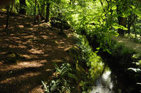
Luxulyan Valley circular
3.4 miles/5.5 km - Easy-moderate
A circular walk following the leats and horse-drawn tramways through the World Heritage site of the Luxulyan Valley to the massive viaduct which carried the tramways towards Newquay and water to winch the trams up the valley with a huge waterwheel, recommended in guidebooks as early as the 1920s "as one of the most glorious walks in all Cornwall".
-
3.0 miles/4.9 km - Easy-moderate
St Agnes Beacon and Wheal Coates
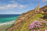
St Agnes Beacon and Wheal Coates
3.0 miles/4.9 km - Easy-moderate
A circular walk between St Agnes Head and the engine houses of Wheal Coates via St Agnes Beacon, with spectacular panoramic views
-
3.2 miles/5.2 km - Easy
St Erth, River and Pits
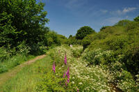
St Erth, River and Pits
3.2 miles/5.2 km - Easy
A circular walk from St Erth along the River Hayle, through woods and fields to Porthcollum then returning past the St Erth Pits nature reserve, with views over the Hayle valley which was once a lagoon separating an island of West Penwith from the Cornish mainland.
-
4.5 miles/7.2 km - Moderate-strenuous
Rilla Mill and Plushabridge
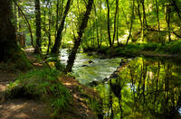
Rilla Mill and Plushabridge
4.5 miles/7.2 km - Moderate-strenuous
A circular walk from Rilla Mill with views across Cornwall to the Cheesewring and Kit Hill, and along the River Lynher through the Colquite Woodland reserve and via medieval bridges to where the ancient mill stood until the 1960s and the leats can still be seen.
-
3.8 miles/6.1 km - Moderate
Helford and Frenchman's Creek
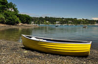
Helford and Frenchman's Creek
3.8 miles/6.1 km - Moderate
A circular walk through the wooded valleys of the Helford River including the most famous - Frenchman's Creek - which is still as pristine as when it inspired Daphne du Maurier's novel
-
about 5.1 miles/8.3 km - Easy-moderate
Helston and Cober Valley
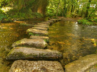
Helston and Cober Valley
about 5.1 miles/8.3 km - Easy-moderate
A circular walk from Helston along the Cober Valley to the granite quarries at Coverack Bridges, where the viaduct of the Helston Railway can still be seen spanning the valley.
-
3.6 miles/5.8 km - Easy-moderate
Lost Church and Perranporth dunes
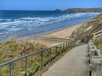
Lost Church and Perranporth dunes
3.6 miles/5.8 km - Easy-moderate
A circular walk on the highest dune system in Britain to the chapel dating from Celtic times which was lost in the dunes for nearly 1000 years.
-
3.5 miles/5.6 km - Easy-moderate
Mawnan
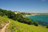
Mawnan
3.5 miles/5.6 km - Easy-moderate
A circular walk through three of the wooded valleys to the sheltered coves at the mouth of the Helford River
-
3.1 miles/5.0 km - Moderate
St Breward to Lank
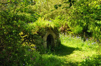
St Breward to Lank
3.1 miles/5.0 km - Moderate
A short circular walk from St Breward through ancient bluebell woods along the valley of the River Camel to the holy well, ending at the mediaeval church and inn.
-
4.4 miles/7 km - Easy-moderate
Portscatho to Pendower Beach
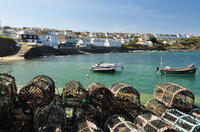
Portscatho to Pendower Beach
4.4 miles/7 km - Easy-moderate
A circular walk along two miles of beaches around Gerrans Bay which were once used by Portscatho smugglers to land contraband and strewn with the wreckage of sailing ships that overshot Falmouth Harbour and ran aground on The Whelps reef.
Download the iWalk Cornwall app and use the QR scanner within the app to find out more about any of the walks above.


