


Most Popular Inland Walks this week
Enjoy the walks by being guided by the app





-
2.7 miles/4.4 km - Easy-moderate
Blisland to Lavethan Wood
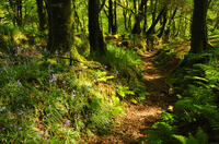
Blisland to Lavethan Wood
2.7 miles/4.4 km - Easy-moderate
A short circular walk from the village of Blisland through the churchyard, two stretches of the Woodland Trust reserve of Lavethan Wood and land which was once the estates of Lavethan and Barlandew manors.
-
3.5 miles/5.6 km - Easy-moderate
Hayle Valley from St Erth
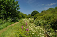
Hayle Valley from St Erth
3.5 miles/5.6 km - Easy-moderate
A circular walk from St Erth along the River Hayle, lined with wildflowers in the spring and summer, and returning with views over the Hayle valley which was once a lagoon separating an island of West Penwith from the Cornish mainland.
-
3.4 miles/5.5 km - Easy-moderate
Luxulyan Valley circular
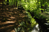
Luxulyan Valley circular
3.4 miles/5.5 km - Easy-moderate
A circular walk following the leats and horse-drawn tramways through the World Heritage site of the Luxulyan Valley to the massive viaduct which carried the tramways towards Newquay and water to winch the trams up the valley with a huge waterwheel, recommended in guidebooks as early as the 1920s "as one of the most glorious walks in all Cornwall".
-
4.8 miles/7.7 km - Moderate
Grampound to Trenowth

Grampound to Trenowth
4.8 miles/7.7 km - Moderate
A circular walk in the Fal valley from Grampound which began as a river port in Roman times which evolved into the gateway into West Cornwall in mediaeval times and went on to become the centre of Cornwall's tanning industry.
-
5.4 miles/8.7 km - Easy-moderate
St Hilary and Hayle Valley
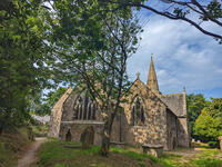
St Hilary and Hayle Valley
5.4 miles/8.7 km - Easy-moderate
A circular walk to St Hilary church along the Hayle river valley where nature has transformed a once barren industrial landscape into woodland, heath, lakes and streams
-
4.3 miles/6.9 km - Moderate-strenuous
Blisland and Pendrift Downs
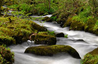
Blisland and Pendrift Downs
4.3 miles/6.9 km - Moderate-strenuous
A circular walk from Blisland through the De Lank granite quarry, used for many famous buildings including the Royal Opera House, between the moss-covered boulders and trees of the De Lank river valley and across the Pendrift Downs, passing Jubilee Rock - a huge granite boulder, decorated with carvings.
-
5.3 miles/8.5 km - Easy-moderate
Lanhydrock to Restormel
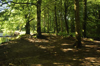
Lanhydrock to Restormel
5.3 miles/8.5 km - Easy-moderate
A circular walk from the mediaeval bridge at Respryn along the River Fowey through the bluebell woodland of the Lanhydrock Estate to the circular Norman castle at Restormel which had a pressurised piped water system 700 years ahead of its time.
-
5.9 miles/9.5 km - Moderate
Carn Brea and the Great Flat Lode
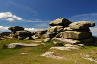
Carn Brea and the Great Flat Lode
5.9 miles/9.5 km - Moderate
A circular walk along the Great Flat Lode, where the Basset family made their fortune from the rich mineral reserves, to Carn Brea where they built a hunting lodge balanced on a tor in the style of a castle.
-
3.8 miles/6.1 km - Easy-moderate
St Clement and Malpas
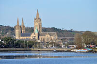
St Clement and Malpas
3.8 miles/6.1 km - Easy-moderate
A circular walk at the confluence of the Truro and Tresillian rivers, once defended by Moresk castle and later where timber for the mines was unloaded and floated as rafts into Truro
-
3.4 miles/5.4 km - Easy-moderate
Wheal Maid and Poldice Valley
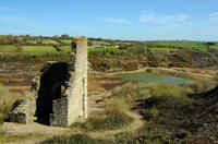
Wheal Maid and Poldice Valley
3.4 miles/5.4 km - Easy-moderate
A circular walk in the area described in Victorian times as the richest square mile anywhere on Earth


Download the iWalk Cornwall app and use the QR scanner within the app to find out more about any of the walks above.