
Walks by Cornwall National Landscape Area

Hartland (Marsland To Menachurch Point)
A high coastal plateau of carboniferous sandstones and slates known as the Culm Measures.
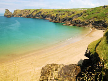
Pentire Point To Widemouth
The coastline is craggy with dramatic contorted cliffs and folded slates, shales and volcanic rocks.
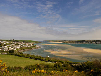
The Camel Estuary
Defined by its distinct, gentle, undulating land sloping down into the broad Camel valley.
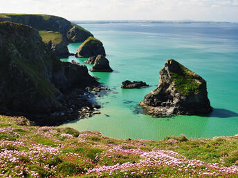
Carnewas To Stepper Point
Features a variety of coastal scenery including elevated headlands like Trevose Head and Stepper Point
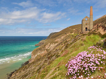
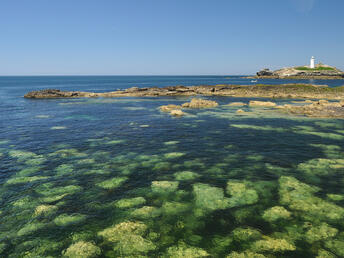
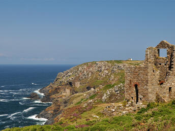
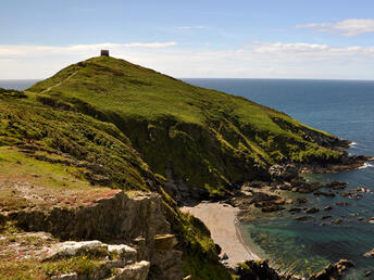
St Agnes
Dominated by the large granite peak of St Agnes Beacon, rising from the surrounding coastal plateau.
West Penwith
A sparsely populated peninsula ringed by high cliffs and rising to high, rocky moorland at its centre.
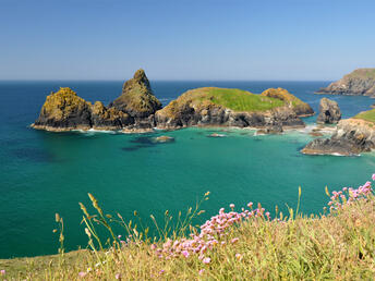
South Coast Western
The coastal landscape has a soft profile, including the Helford River and the unique Loe Bar shingle beach.
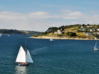
South Coast Central
Covers the land around the nine creeks of the Carrick Roads in the Fal estuary and the Roseland Peninsula.
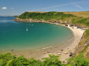
South Coast Eastern
Features the creeks of the River Fowey with steep wooded slopes and the open coastal areas.
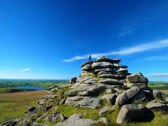
Bodmin Moor
A remote upland granite plateau characterised by dramatic tors like Brown Willy and Rough Tor.